-40%

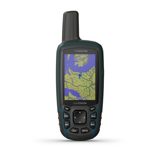
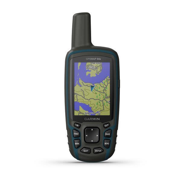
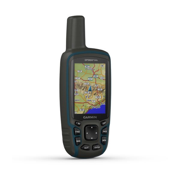
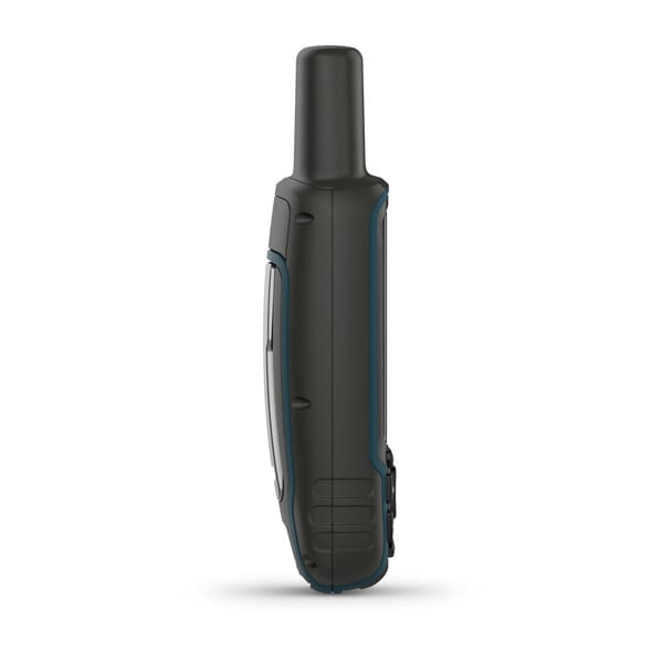
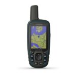
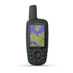
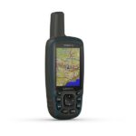
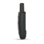
Garmin Gpsmap 64X Handheld GPS

SKU: 010-02258-01
Brand:  Garmin

Original price was: AED1,930.00.Current price is: AED1,159.00.

Product Highlights

  • Satellite Imagery (with Subscription)
  • US & Australia 100K Topo Maps
  • GPS, GLONASS & Galileo Satellites
  • Receive Alerts from Your iPhone
  • Wireless Data Sharing Capability
  • Paperless Geocaching Software
  • 5000 Waypoint Memory
  • Runs on 2 x AA Batteries

In stock

Buy Now
Compare
Compare
in stock
Categories: ,

Description

Featuring pre-loaded topographic maps of the US and Australia, satellite imagery (with subscription), and navigation from three satellite services, the Garmin 64x GPSMAP Navigator will be a trusted companion when you’re hiking, cycling, geocaching, or climbing.


Explore the World with Reliable Navigation in Hand

  • Rugged and water-resistant design with button operation and a 2.6” sunlight-readable color display
  • Preloaded with TopoActive maps, featuring routable roads and trails for cycling and hiking
  • Know where you’re at with a high-sensitivity receiver with quad helix antenna and multi-GNSS support (GPS, GLONASS and Galileo) and 3-axis compass with barometric altimeter
  • Battery life: up to 16 hours in GPS mode

Additional information

General:

Dimension: 2.4" x 6.3" x 1.4" (6.1 x 16.0 x 3.6 cm)
Weight: 7.7 oz (217 g) with batteries
Water rating: IPX7
Display Type: Transflective, 65K color TFT
Display Size: 1.43" x 2.15" (3.6 x 5.5 cm); 2.6" diag (6.6 cm)
Display resolution: 160 x 240 pixels
Battery type: 2 AA batteries (not included); NiMH or Lithium recommended
Battery life: 16 hours
Memory/History: 8 GB (user space varies based on included mapping)
Interface: High speed mini USB and NMEA 0183 compatible

Maps & Memory:

Preloaded maps: Yes (TopoActive; routable)
Ability to add maps: Yes
Basemap: Yes
Automatic routing (turn by turn routing on roads) for outdoor activities: Yes
Map segments: 3000
Includes detailed hydrographic features (coastlines, lake/river shorelines, wetlands and perennial and seasonal streams): Yes
Includes searchable points of interests (parks, campgrounds, scenic lookouts and picnic sites): Yes
Displays national, state and local parks, forests, and wilderness areas: Yes
External memory storage: Yes (32 GB max microSD™ card)
Waypoints/favorites/locations: 5000
Tracks: 200
Navigation Track Log: 10000 points, 200 saved tracks
Navigation Routes: 200, 250 points per route; 50 points auto routing

Sensors:

GPS: Yes
GLONASS: Yes
Galileo: Yes
High-sensitivity receiver: Yes
GPS compass (while moving): Yes

Outdoor Recreation:

Point-to-point navigation: Yes
Area calculation: Yes
Fish forecast: Yes
Sun and moon information: Yes
Geocaching-friendly: Yes (Paperless)
Custom maps compatible: Yes (500 custom map tiles)
Picture viewer: Yes

In the Box:

GPSMAP 64x
USB cable
Documentation

Reviews

There are no reviews yet.

Be the first to review “Garmin Gpsmap 64X Handheld GPS”

Your email address will not be published. Required fields are marked *