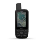
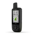
Garmin Gpsmap 66S Worldwide Multi satellite handheld with sensors
SKU: 010-01918-01Original price was: AED2,580.00.AED1,549.00Current price is: AED1,549.00.
Product Highlights
- 3″ Sunlight Readable Display
- BirdsEye Satellite Imagery Auto Updated
- Multiple Navigation Satellite Systems
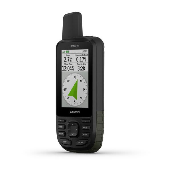
- 3-Axis Compass & Barometric Altimeter
- Garmin Explore Website & App
- Active Weather & Geocaching Live
- Wireless Data Sharing Capability
- 16 Hours of Runtime on 2 AA Batteries
- Built to MIL-STD-810G Standards
Out of stock
CompareDescription
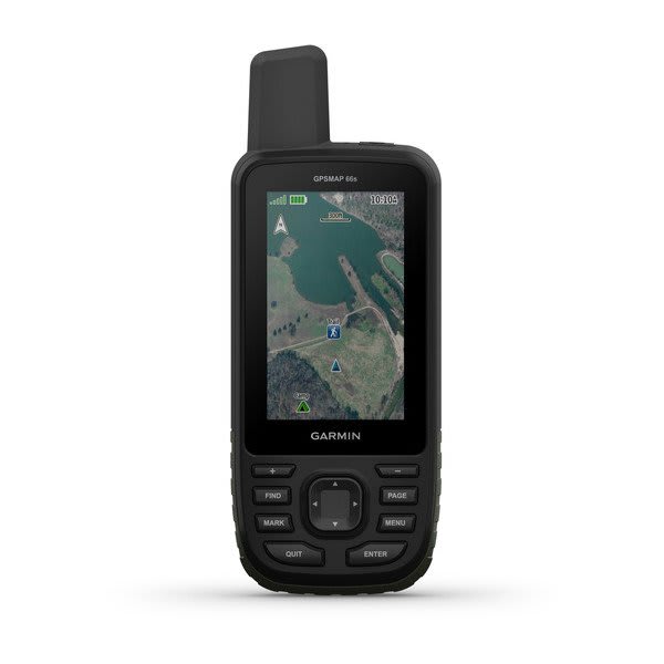
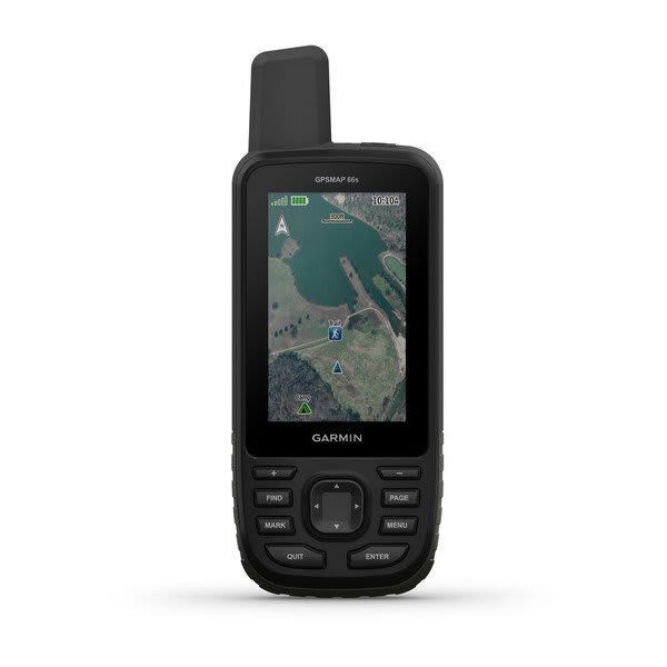
Multi-satellite navigation, automatically updated satellite images, and rugged construction make the Garmin GPSMAP 66s a valuable addition to your outdoor adventure gear. Designed for such activities as hiking, hunting, climbing, geocaching, kayaking, and mountain biking, this navigator features a 3″ sunlight-readable screen, giving you a good look at the BirdsEye Satellite Imagery aerial photos of surrounding terrain. There’s no need for a subscription—the BirdsEye images update automatically direct to the device. Use them to find trails, trailheads, and clearings for campsites, to pick stand locations for hunting, to find parks and parking for geocaching, and even to create waypoints based on landmarks. A three-axis compass and barometric altimeter help to plan and track your route.
Pair the GPSMAP 66s to your compatible phone with Bluetooth and you have access to Active Weather forecasts and live radar. You’ll also have access to the latest caches from Geocaching Live, including cache descriptions, logs, and hints, along with paperless geocaching capability. Use the Garmin Explore mobile app to plan, review and sync data, including waypoints, routes, and tracks, and even review completed activities while offline. Once you’re home again, plan for future trips and review previous activities from the Garmin Explore website.
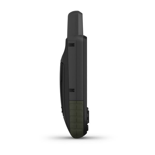
Designed to withstand the elements, the GPSMAP 66s is built to MIL-STD-810G standards. It carries an IPX7 water resistance rating, and is equipped with an LED flashlight and locator beacon. It’s even compatible with night vision gear. Two AA batteries will power the unit in GPS mode for 16 hours, and up to a week in expedition mode.
Additional information
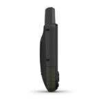
| General: | DIMENSION: 2.5" x 6.4" x 1.4" (6.2 x 16.3 x 3.5 cm) |
|---|---|
| Maps & Memory: | ABILITY TO ADD MAPS: Yes |
| Sensors: | GPS: Yes |
| Daily Smart Features: | CONNECT IQ™ (DOWNLOADABLE WATCH FACES, DATA FIELDS, WIDGETS AND APPS): Yes |
| Safety and Tracking Features: | LiveTrack: Yes |
| Tactical Features: | XERO™ Locations: Yes |
| Outdoor Recreation: | POINT-TO-POINT NAVIGATION: Yes |
| Outdoor Applications: | Compatible with Garmin Explore™ app: Yes |
| Connections: | Connections Wireless Connectivity : yes (Wi-Fi®, BLUETOOTH®, ANT+®) |
| In the Box: | GPSMAP 66s |


Reviews
There are no reviews yet.